Because quality matters
We make your project look good
Since 1993, POINTMAP has had the honor of working with a variety of clients on a broad range of projects. Our clients appreciate our skill, knowledge, and dedication. They trust us to deliver CAD & GIS solutions that enhance their projects, benefit their clients and meet regulatory compliance. It is an honor to say, greater than 90% of our business is repeat and referral.
 Environmental Compliance
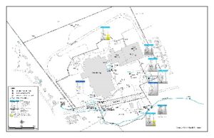
For over 24 years, POINTMAP has been helping corporate Environmental Affair Groups comply with regulatory obligations. Some of our purposeful tasks have included updating base maps, constructing GIS projects, and customizing GIS interfaces to help project managers better organize data and present technical information for quarterly and annual reporting.
 Redevelopment Projects
POINTMAP has created GIS projects for several Brownfield redevelopment sites. Working closely with our client, using historical and current data, we build a project that represents the history of the site while focusing on the full potential of the future site. Our maps are an asset to our client for reporting purposes, public meetings, and regulatory compliance throughout the redevelopment process.
 Superfund Sites
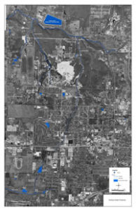
POINTMAP has worked on several Superfund Projects. One such project is a 160-acre site mandated for environmental restoration by the EPA. The high-profile nature of the site demands continual cooperation between the residential community, consultants, contractors, responsible parties, and regulatory officials. Beginning with various historical site plans and survey information, POINTMAP established and maintained an accurate set of maps containing a multitude of information. The maps were used to delineate site conditions, illustrate site redevelopment options, and satisfy regulatory compliance and public meeting requirements. POINTMAP consistently met the short deliverable time frames often imposed by the state and federal agencies involved.
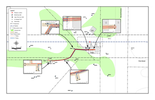 Pipeline and Utility Maps
POINTMAP prepared figures for an environmental cleanup project where a pipeline leak allowed product to seep into the ground and cause groundwater contamination. The site was located near a stream and required a prompt and efficient remediation plan. We generated spatial analysis maps of the source area. These maps became an essential element in the placement of recovery wells and sampling points.
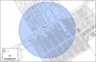 Tax Parcel Data Collection
POINTMAP helped our client acquire parcel information that enabled them to determine the properties located within a 1000-foot radius of their project site. Our research led us to the most useful supplier of this data, saving our client time and money on the mapping portion of their project.
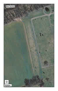 Historical Data and Modern Technology
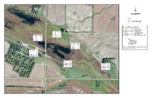
POINTMAP helped a small community begin the process of mapping burial plots in their cir.1800’s cemetery. New and accurate maps were created from historical plat maps, field notes, historical photos, and ledgers. It was important to accurately map the area so the community could plan surrounding land use. The electronic CAD maps will allow the community to properly document key details and a GIS data base will guide future planning.
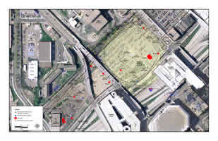 Phase I and Phase II Site Assessment Report Projects
POINTMAP has prepared many Phase I and Phase II maps over the years. We assemble accurate and detailed information in a timely manner. Properly documenting results is key in communicating and meeting regulatory requirements. We help our clients document and present pertinent data to allow a project to flow successfully from beginning to end.
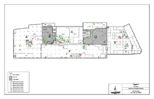 Asbestos Investigation and Abatement Projects
POINTMAP has prepared building and room layout details to assist clients in the investigation and abatement of asbestos materials. POINTMAP can be trusted to prepare maps that clearly represent detailed and accurate information. We have consistently proven to be a trusted and reliable resource in getting details accurately documented for both construction and destruction.
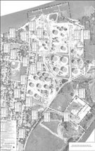 Remediation Project
POINTMAP has combined CAD and GIS efforts to produce highly detailed maps for quarterly and annual reports at several petroleum remediation sites and bulk storage facilities. We integrated CAD efforts with database information to create a comprehensive GIS project. Working with information from the database, we are able to assist our clients with managing and displaying data. We are able to provide accurate maps and figures for report documents and planning purposes. Our capabilities with GIS allow us to greatly reduce the time it would normally take to create report figures and present results.
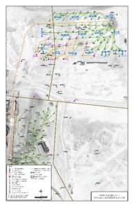 Site Restoration Project
POINTMAP has worked on many environmental remediation projects over the years. From the beginning topo and aerials and site map of a Phase I Report, to the sampling and drilling with Phase II figures, on through the remediation and treatment design. We take great pride in our work and our contribution to the revitalization of the site.
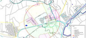 Emergency Response Projects
POINTMAP has provided drafting and mapping support on several emergency response situations, including: train derailments, pipeline breaks and chemical spills. These situations require fast response and quick turnaround as data is collected so that critical decisions can be made to minimize impact.
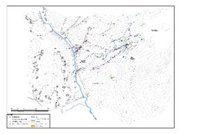 POINTMAP has worked closely with various entities including military personnel and private consulting firms to successfully digitize utility systems onto an updated survey map for an Ammunition Plant project. The work required detailed review and utilization of many dated blueprints and field notes to correctly map the location of storm sewer, sanitary sewer, steam, gas, and water lines across a site which encompasses an area of over 2,300 acres. Final work product was delivered in an electronic format as a supplement to the existing survey map. The information provided by POINTMAP has assisted in facilitating future development of the site.