Drafting and Mapping:
Investigating, Remediating, and Monitoring
You Collect the Data
and We Make it Presentable
CAD AND GIS support for engineers, geologists, and scientists working in the agricultural, archaeological, civil, environmental, geotechnical, natural resources and mining industries.
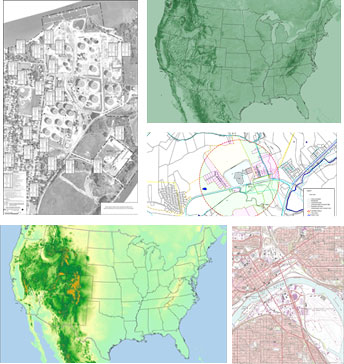
POINTMAP is a CAD & GIS contract mapping and drafting services company that uses Autodesk® and Esri® products to prepare maps, technical drawings, details, report figures, graphics, and presentation materials. We help you determine the best way to assemble, manage, and present information.
Ready when you need us and off the clock when you don’t
- You collect the data, we make it presentable. Accessing online tools to obtain aerial photography, topographic maps, and other digital resources.
- We bring your existing blueprints, maps, and drawings up to date. We can digitize your paper maps, blueprints, and drawings into an electronic CAD or GIS format that can easily and quickly be manipulated, edited and updated. We can work with a site survey or your field notes to create an accurate working product.
- We make sense of your file structure and data so that we can synthesize it into a coherent format for retrieval and production. We help you manage geographic information with analytical data, building a system that can expand and grow with your project.
- We help you document, organize, query, and present information. We are the masters of assembling information. We can generate drawings and maps that accurately convey the information and details you need to present. We will maintain these files so that they are accessible to you and ready when you need them.
- Your data and information is stored and archived – ready when you need it.
Value-added service to maximize your time and budget – sensible solutions, quality work, and timely turnaround

Are you ready to Get Started?
Visit FAQ for more information on our services